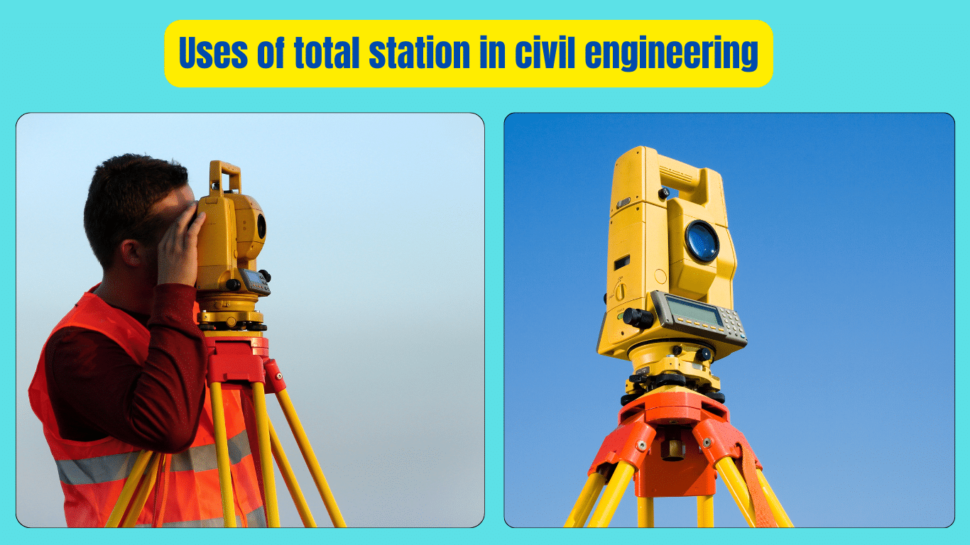
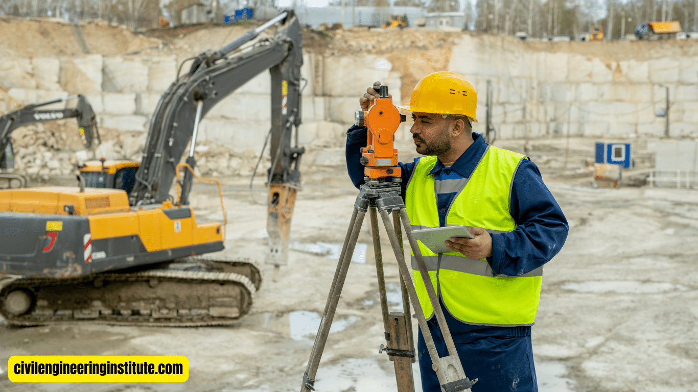
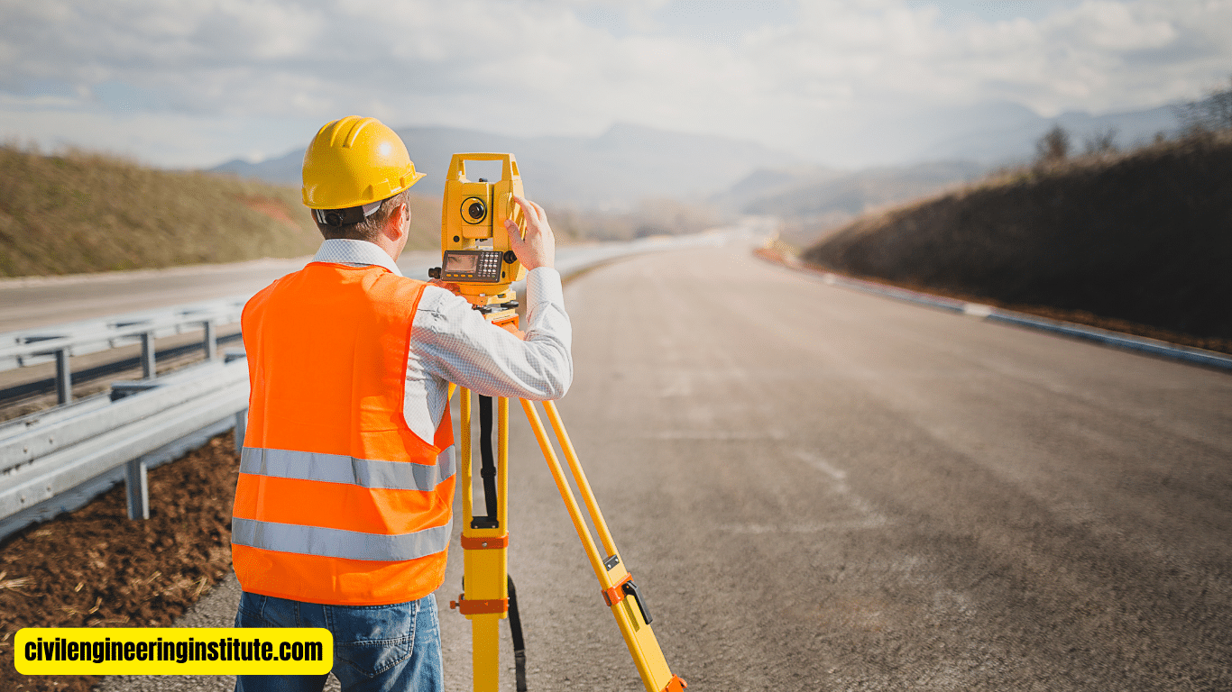
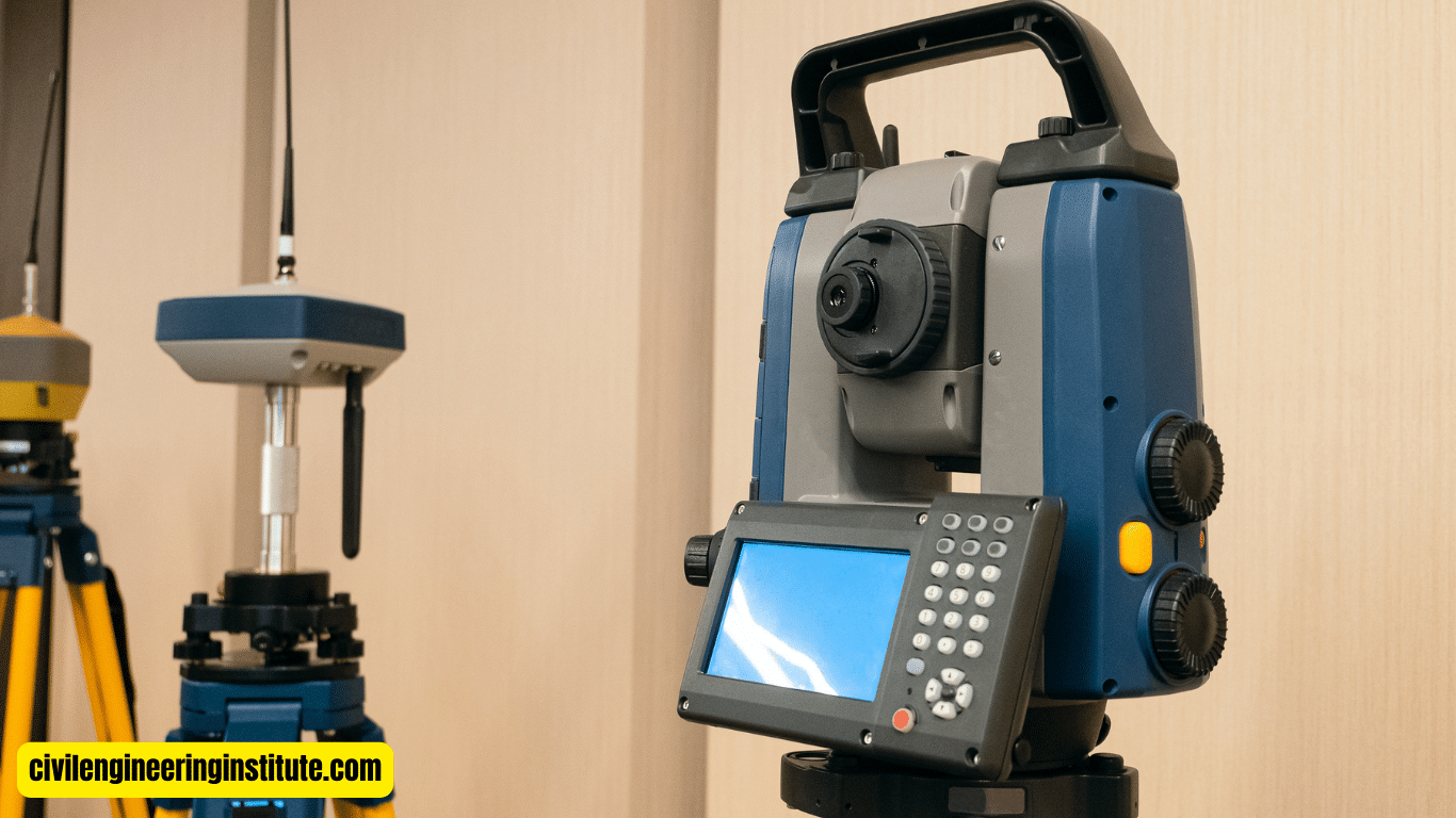
Uses of total station in civil engineering are essential tools for a variety of tasks. These devices combine the functions of a theodolite and an electronic distance meter (EDM) to measure angles and distances with high accuracy. Civil engineers use total stations for various purposes, such as land surveying, construction layout, and infrastructure design.
They can precisely measure distances, angles, and elevations, allowing engineers to create detailed maps, stake out boundaries, and set precise points for construction. Additionally, total stations are often used in conjunction with computer-aided design (CAD) software to generate digital models and plans for construction projects. Their versatility and accuracy make them indispensable tools for civil engineers in ensuring the successful execution of various construction and engineering projects.
Uses of total station in civil engineering
In the realm of civil engineering, precision and accuracy reign supreme. Whether it’s surveying land for a new construction project or ensuring that structures are built to exact specifications, engineers rely on a myriad of tools to get the job done right. One such tool that has revolutionized the field is the total station. In this comprehensive guide, we’ll delve into the various uses of total station in civil engineering, exploring its applications, benefits, and how it’s shaping the future of construction.
Understanding Total Station: A Brief Overview
Before we dive into its uses, let’s first understand what a total station is and how it works. Essentially, a total station is an electronic device used for measuring angles, distances, and elevations with remarkable precision. It combines the functionality of a theodolite for measuring angles and a distance meter for measuring distances, all within a single instrument.
Land Surveying Made Easy
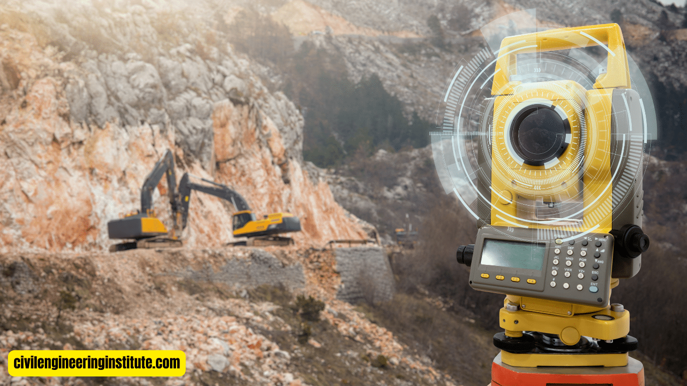
One of the primary applications of total stations in civil engineering is land surveying. Whether it’s determining property boundaries, mapping out terrain features, or conducting topographic surveys, total stations are indispensable tools for surveyors. By accurately measuring distances and angles, surveyors can create detailed maps and charts that serve as the foundation for construction projects.
Precision Construction Layout
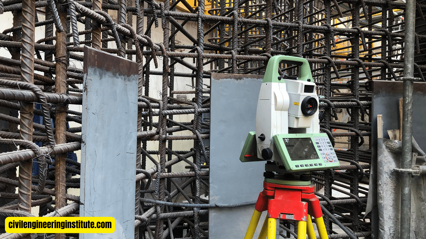
In the realm of construction, accuracy is paramount. Total stations play a crucial role in ensuring that structures are built according to plan. Engineers use total stations to stake out precise points for foundations, columns, and other structural elements. This ensures that buildings are constructed in the right location and to the correct dimensions, minimizing errors and reducing costly rework.
Monitoring Structural Deformations
During the construction phase, engineers often need to monitor the stability and integrity of structures. Total stations can be used to measure and monitor structural deformations over time, providing valuable insights into the performance of buildings and infrastructure. By detecting any deviations from the original design, engineers can take proactive measures to address potential issues before they escalate.
Highway and Railway Alignment
Total stations are also widely used in the design and construction of highways and railways. Engineers rely on total stations to precisely measure horizontal and vertical alignments, ensuring that roads and railways are constructed to meet safety standards and accommodate the intended traffic flow. Total stations help engineers optimize the alignment of transportation routes, minimizing sharp curves and gradients that can impact vehicle or train speed and safety.
As-Built Surveys and Documentation
Once a construction project is completed, it’s essential to document the final product accurately. Total stations are used to conduct as-built surveys, where engineers verify that the constructed elements match the original design plans. By comparing the actual measurements to the intended specifications, engineers can identify any discrepancies and make necessary adjustments. As-built surveys are critical for maintaining accurate records and ensuring compliance with building codes and regulations.
Integration with CAD Software
Total stations have become increasingly integrated with computer-aided design (CAD) software, further enhancing their capabilities. Engineers can import data collected from total stations directly into CAD programs, allowing for the creation of detailed digital models and plans. This seamless integration streamlines the design and construction process, enabling engineers to visualize projects in 3D and make informed decisions based on accurate data.
Benefits of Total Station in Civil Engineering
The benefits of using total stations in civil engineering are manifold. Firstly, total stations offer unparalleled accuracy, allowing engineers to measure distances and angles with precision down to millimeters. This level of accuracy is essential for ensuring that construction projects meet design specifications and regulatory requirements.
Secondly, total stations are highly versatile tools that can be used for a wide range of applications, from land surveying to construction layout to structural monitoring. This versatility makes total stations invaluable assets for civil engineers, providing them with the flexibility to tackle various challenges on the job site.
Additionally, total stations are relatively easy to use, with many models featuring intuitive interfaces and user-friendly controls. Due to their accessibility, engineers can operate total stations with little training, freeing them up to concentrate on the task at hand.
Furthermore, total stations are equipped with advanced features such as electronic data storage and wireless connectivity, enabling engineers to streamline data collection and analysis processes. This digital functionality eliminates the need for manual record-keeping and reduces the risk of human error, leading to more efficient and accurate results.
Some key points: Uses of total station in civil engineering
Uses of total station in civil engineering
Using a total station in construction is a straightforward process. First, the instrument needs to be set up on a stable tripod at a known location. Then, the operator uses the built-in controls to aim the total station at specific points on the construction site. The instrument emits a laser beam that reflects off a prism or target placed at the desired location, allowing the operator to measure distances and angles accurately. These measurements are crucial for tasks such as laying out building foundations, setting out reference points, and ensuring that structures are constructed according to the design plans.
Principal Applications of Total Station
The principal applications of total stations are vast and varied. They are commonly used in land surveying to measure distances, angles, and elevations with high precision. Total stations are also indispensable tools for construction layout, where they are used to stake out precise points for foundations, columns, and other structural elements. Additionally, total stations are used for monitoring structural deformations, conducting as-built surveys, and aligning highways and railways. Their versatility makes them essential instruments for a wide range of civil engineering tasks.
Advantages and Uses of Total Station
The advantages of using a total station are numerous. Firstly, total stations offer unmatched accuracy, allowing engineers to measure distances and angles with precision down to millimeters. This level of accuracy is essential for ensuring that construction projects meet design specifications and regulatory requirements. Secondly, total stations are highly versatile tools that can be used for various applications, including land surveying, construction layout, and structural monitoring. Additionally, total stations are relatively easy to use, with intuitive interfaces and user-friendly controls. Their digital functionality, such as electronic data storage and wireless connectivity, streamlines data collection and analysis processes, leading to more efficient and accurate results.
Total Station for Leveling
While total stations are primarily used for measuring distances and angles, they can also be used for leveling tasks. Total stations equipped with leveling capabilities allow engineers to determine elevations accurately, making them useful for tasks such as grading, site preparation, and road construction. By measuring vertical angles and distances, total stations can calculate elevations with precision, ensuring that surfaces are level and slopes are graded correctly.
Uses of Total Station for Traversing Work
Traversing is a surveying technique used to establish control points and measure distances and angles between them. Total stations are commonly used for traversing work due to their ability to measure both horizontal and vertical angles simultaneously. Engineers use total stations to establish traverse lines, measure distances between points, and calculate coordinates based on angular and distance measurements. This information is crucial for creating accurate maps, conducting boundary surveys, and performing other surveying tasks.
Uses of a Total Station in Surveying
Total stations are indispensable tools in surveying due to their accuracy and versatility. They are used to measure distances, angles, and elevations with high precision, making them ideal for tasks such as topographic surveys, boundary surveys, and construction staking. Total stations can also be integrated with GPS technology to enhance their capabilities, allowing engineers to collect data quickly and accurately over large areas. Whether it’s mapping out terrain features, establishing control points, or conducting as-built surveys, total stations play a vital role in modern surveying practices.
The function of a Total Station
The primary function of a total station is to measure distances, angles, and elevations with high precision. It combines the functionality of a theodolite for measuring angles and a distance meter for measuring distances, all within a single instrument. Total stations emit a laser beam that reflects off a prism or target placed at the desired location, allowing the operator to measure distances and angles accurately. These measurements are crucial for various civil engineering tasks, including land surveying, construction layout, and structural monitoring.
How to Use a Total Station Surveying Instrument
Using a total station surveying instrument involves several steps. First, the instrument needs to be set up on a stable tripod at a known location. Then, the operator uses the built-in controls to aim the total station at specific points on the survey site. The instrument emits a laser beam that reflects off a prism or target placed at the desired location, allowing the operator to measure distances and angles accurately. These measurements are recorded and used to create detailed maps, stake out boundaries, and set precise points for construction projects.
Operating and Taking Readings for a Total Station
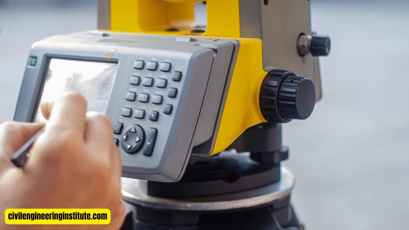
Operating a total station and taking readings requires some training and familiarity with the instrument. The operator must first set up the total station on a stable tripod and ensure that it is properly calibrated. Then, using the instrument’s controls, the operator aims the total station at the target point and takes readings of both horizontal and vertical angles, as well as distances. These readings are recorded and used to calculate coordinates, elevations, and other necessary data for the surveying or construction task at hand.
Why is the Instrument Total Station Called a Total Station?
The instrument total station is called such because it combines the functions of a theodolite and an electronic distance meter (EDM) into a single device. The term “total station” reflects the instrument’s ability to perform a total or comprehensive range of surveying and measurement tasks. By integrating the functionalities of both a theodolite and an EDM, total stations offer engineers and surveyors a complete solution for measuring distances, angles, and elevations with high precision and accuracy.
In conclusion
the uses of total stations in civil engineering are vast and varied. From land surveying to construction layout to structural monitoring, total stations play a pivotal role in ensuring the success of construction projects. With their unmatched accuracy, versatility, and ease of use, total stations are indispensable tools for engineers seeking to build a better future.
FAQs
What is a total station, and how is it used in civil engineering?
A total station is an electronic device used for measuring distances, angles, and elevations with precision. In civil engineering, it’s used for tasks like land surveying, construction layout, and structural monitoring.
What are the main applications of total stations in civil engineering?
Total stations are used for land surveying, construction layout, monitoring structural deformations, highway and railway alignment, and conducting as-built surveys.
How does a total station help with construction projects?
Total stations help in accurately staking out points for building foundations, columns, and other structural elements. They ensure that structures are constructed according to design plans.
Can a total station be used for leveling tasks?
Yes, total stations equipped with leveling capabilities can accurately determine elevations, making them useful for grading, site preparation, and road construction.
What is traversing work, and how does a total station assist in it?
Traversing is a surveying technique to establish control points and measure distances between them. Total stations are used for traversing by measuring horizontal and vertical angles simultaneously.
How does a total station contribute to surveying tasks?
Total stations play a vital role in surveying by accurately measuring distances, angles, and elevations. They are used for topographic surveys, boundary surveys, and construction staking.
What are the advantages of using a total station in civil engineering?
Total stations offer unmatched accuracy, versatility, ease of use, and digital functionality like electronic data storage and wireless connectivity.
What is the primary function of a total station?
The primary function of a total station is to measure distances, angles, and elevations with high precision, combining the functionalities of a theodolite and an electronic distance meter (EDM).
How do you operate a total station surveying instrument?
Operating a total station involves setting it up on a stable tripod, aiming it at specific points, and taking readings of horizontal and vertical angles, as well as distances.
Why is it called a total station?
The term “total station” reflects the instrument’s ability to perform a total or comprehensive range of surveying and measurement tasks, combining the functionalities of a theodolite and an EDM.
