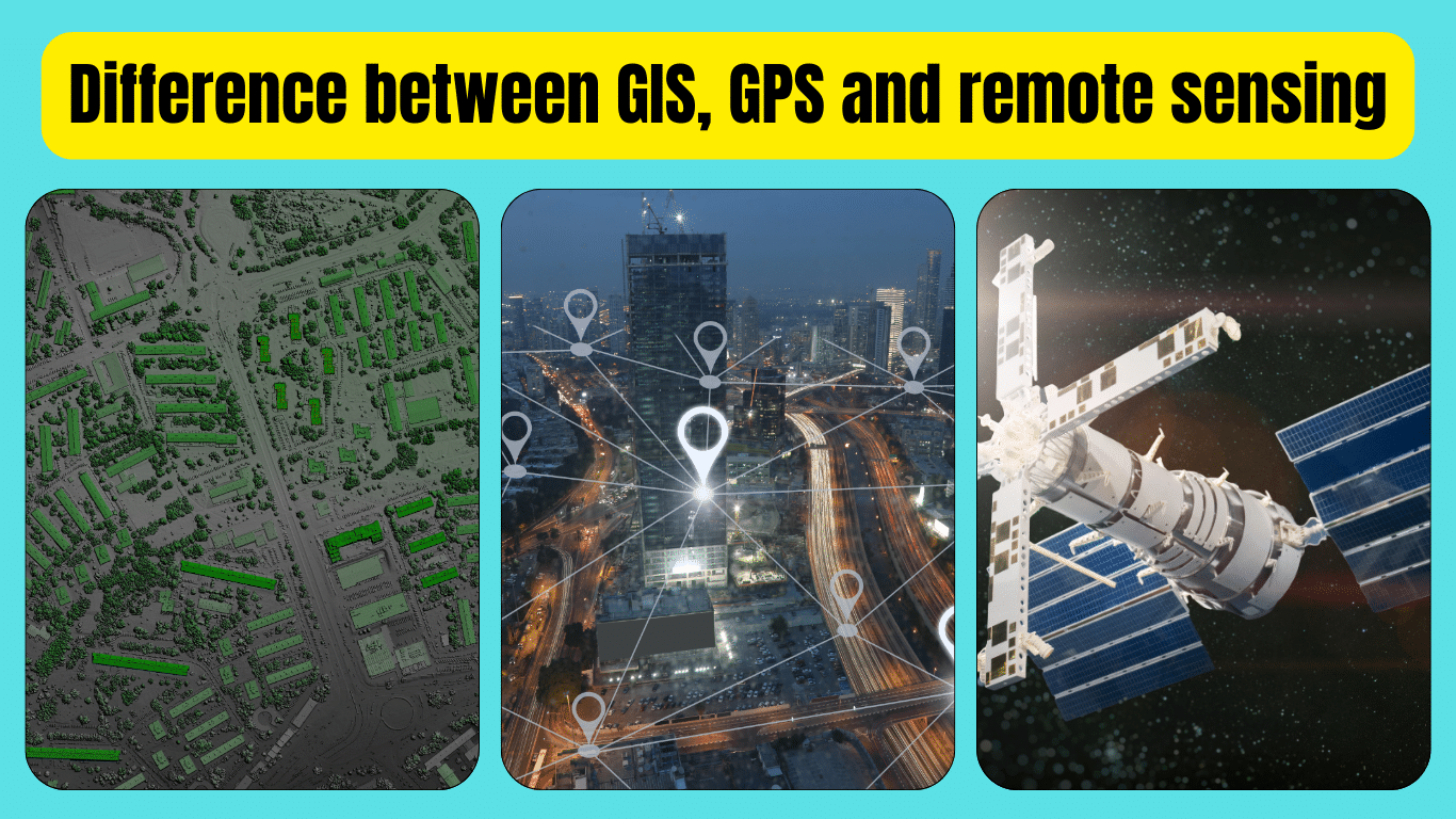
Understanding the difference between GIS, GPS, and remote sensing is crucial to grasping their distinct roles in geography and technology. GIS (Geographic Information System) is a tool that helps in storing, analyzing, and visualizing spatial data, such as maps and layers of information. It allows users to understand relationships and patterns within geographic data. On the other hand, GPS (Global Positioning System) primarily focuses on determining precise locations on the Earth’s surface using satellites.
It’s commonly used in navigation and tracking applications. Remote sensing involves capturing and interpreting data from a distance, typically using sensors on satellites or aircraft. It provides valuable information about the Earth’s surface and atmosphere, aiding in various fields like environmental monitoring and urban planning. By comprehending the distinctions between these technologies, individuals can effectively utilize them for diverse purposes, ranging from urban planning to disaster management and beyond.
Understanding the Difference between GIS, GPS and remote sensing
In today’s digital age, technologies like GIS, GPS, and remote sensing play crucial roles in various fields, from urban planning to environmental management. While these terms may seem interchangeable at first glance, they represent distinct tools with unique functionalities. Let’s delve into the key differences between GIS, GPS, and remote sensing and explore how each contributes to our understanding of geography and the world around us.
What is GIS?
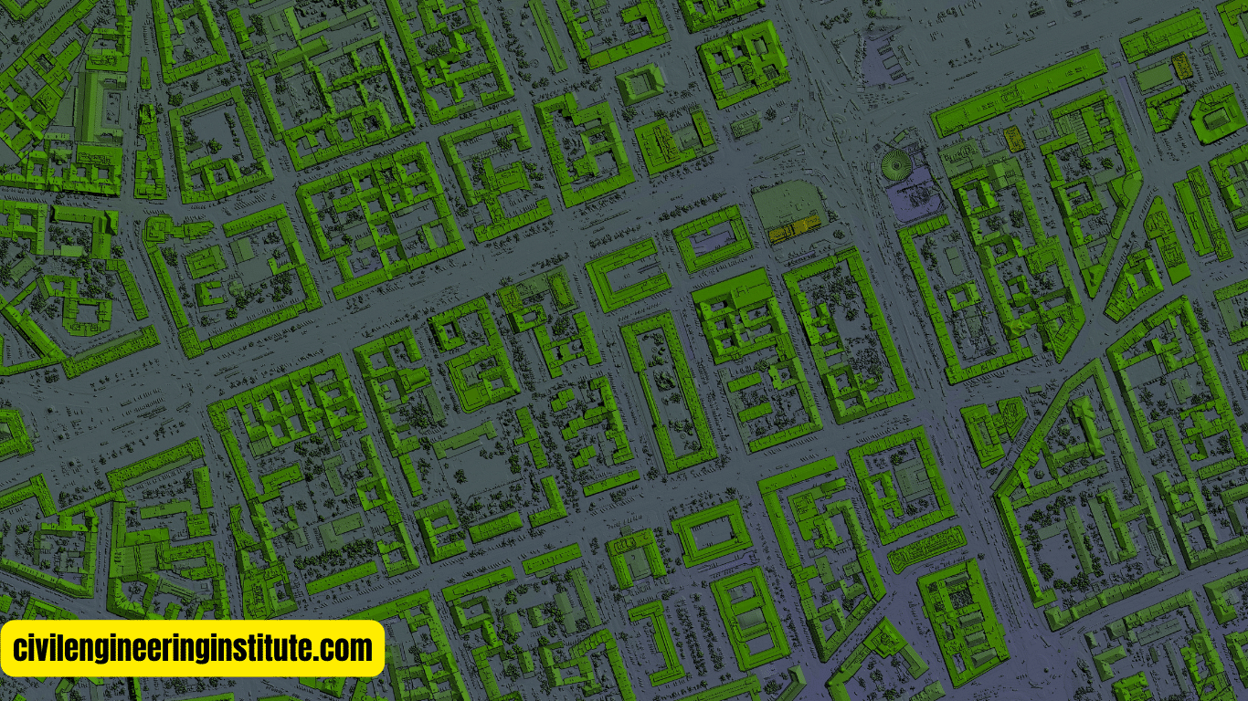
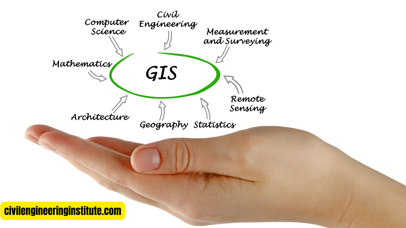
GIS stands for Geographic Information System. At its core, GIS is a powerful tool used to store, analyze, and visualize spatial data. Imagine it as a digital map on steroids, capable of layering multiple types of information onto a single map. With GIS, users can create, edit, analyze, and interpret geographic data to understand patterns, relationships, and trends.
One of the key features of GIS is its ability to integrate various types of data. For example, a GIS map could combine information about land use, population density, and environmental features to help urban planners make informed decisions about city development. GIS is widely used in fields such as urban planning, natural resource management, transportation, and public health.
What is GPS?
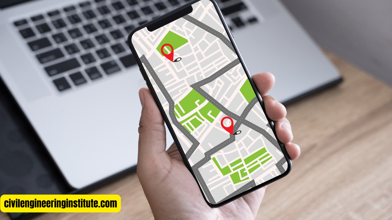
GPS stands for Global Positioning System, and chances are you’re already familiar with it thanks to the navigation systems in our cars and smartphones. GPS relies on a network of satellites orbiting the Earth to determine precise geographic locations. By triangulating signals from multiple satellites, GPS receivers can calculate their exact position anywhere on the planet.
Unlike GIS, which focuses on storing and analyzing spatial data, GPS is all about location. It’s used for navigation, tracking, and mapping purposes. Whether you’re driving to a new destination or hiking in the wilderness, GPS can help you find your way with pinpoint accuracy.
What is Remote Sensing?
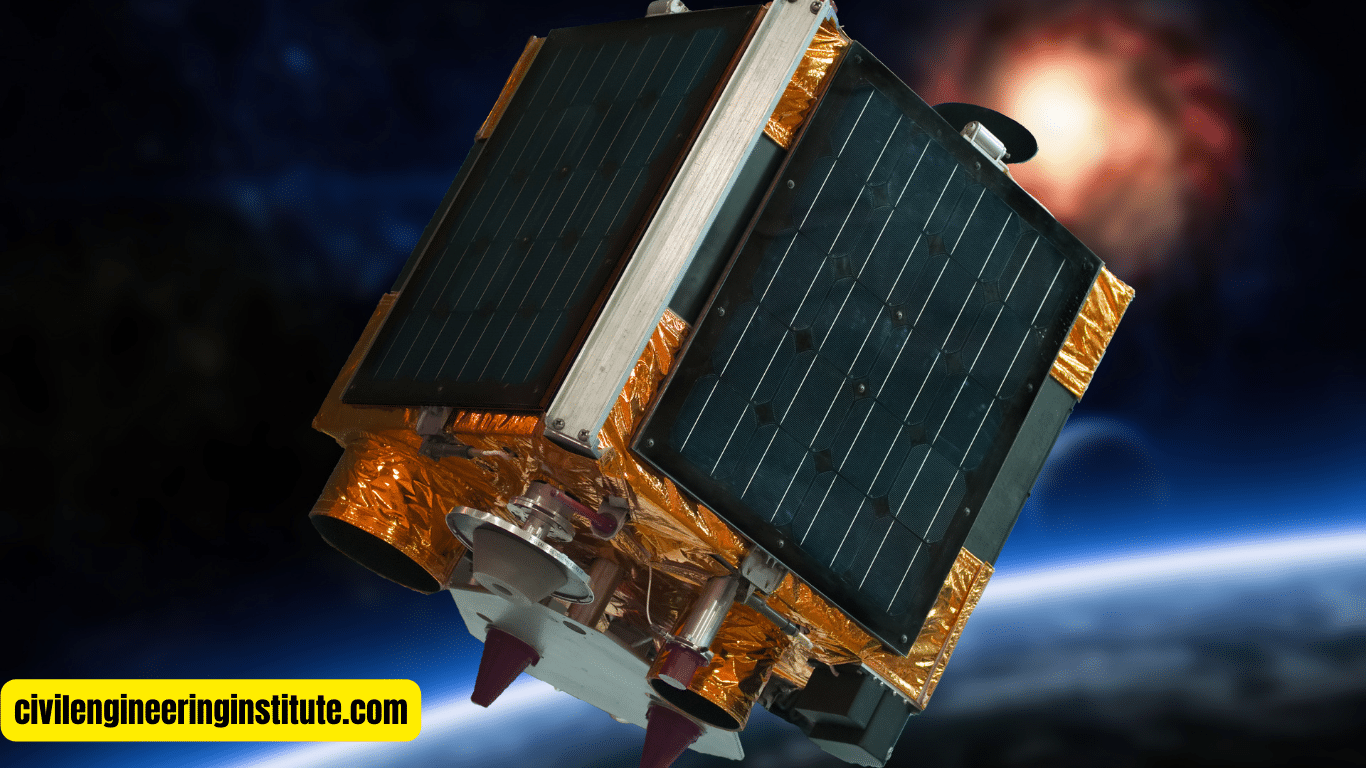
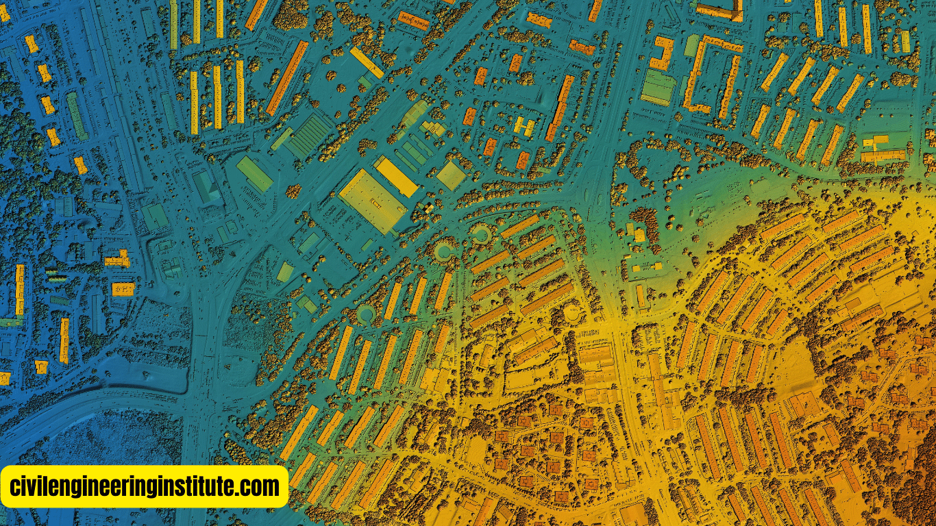
Remote sensing involves gathering information about the Earth’s surface from a distance, typically using sensors mounted on satellites or aircraft. These sensors capture data in the form of images, which can then be analyzed to extract valuable insights about the environment.
Remote sensing is like having a bird’s-eye view of the Earth. It allows scientists to study changes in land cover, monitor environmental conditions, and track natural disasters from afar. For example, remote sensing data can be used to detect deforestation, monitor crop health, and assess the impact of climate change on ecosystems.
Key Differences Between GIS, GPS, and Remote Sensing
While GIS, GPS, and remote sensing all deal with geographic information, they serve different purposes and utilize different technologies. Here are some key differences between them:
Purpose:
- GIS is primarily used for storing, analyzing, and visualizing spatial data.
- GPS is used for determining precise locations and navigating from one point to another.
- Remote sensing is used for gathering information about the Earth’s surface from a distance.
Technology:
- GIS relies on software and databases to manage geographic data.
- GPS relies on a network of satellites to determine location.
- Remote sensing relies on sensors mounted on satellites or aircraft to capture data.
Applications:
- GIS is used in fields such as urban planning, natural resource management, and public health.
- GPS is used for navigation, tracking, and mapping purposes in vehicles, smartphones, and other devices.
- Remote sensing is used for environmental monitoring, agriculture, disaster management, and scientific research.
Integration:
- GIS can integrate data from various sources to create comprehensive maps and analyses.
- GPS provides location data that can be integrated into GIS and other systems for spatial analysis.
- Remote sensing data can be integrated into GIS to enhance spatial analyses and visualizations.
Some important queries: Difference between GIS, GPS and remote sensing
How is remote sensing different from GPS and GIS?
Remote sensing, GPS, and GIS are all related to geographic information, but they serve different purposes and use distinct technologies. Remote sensing involves capturing data about the Earth’s surface from a distance, usually using satellites or aircraft-mounted sensors. It provides valuable information about land cover, environmental changes, and more. GPS, on the other hand, stands for Global Positioning System and is focused on determining precise locations on Earth using signals from satellites.
It’s commonly used for navigation and tracking. GIS, or Geographic Information System, is a software tool used to store, analyze, and visualize spatial data. While remote sensing gathers data, GIS helps us make sense of it by creating maps, conducting analyses, and identifying patterns. In summary, remote sensing captures data, GPS determines locations, and GIS helps us interpret and understand spatial information.
What are GIS and remote sensing?
GIS, or Geographic Information System, is a technology that allows users to store, analyze, and visualize spatial data. It’s like a digital map that can layer different types of information, such as land use, population density, and environmental features. GIS helps users understand relationships and patterns within geographic data, making it valuable in fields like urban planning, natural resource management, and public health.
Remote sensing, on the other hand, involves capturing data about the Earth’s surface from a distance, typically using sensors on satellites or aircraft. These sensors collect information in the form of images, which can then be analyzed to extract insights about the environment. Remote sensing is used for tasks such as monitoring environmental changes, assessing crop health, and studying natural disasters. While GIS focuses on managing and analyzing spatial data, remote sensing provides the data that GIS can work with, making them complementary technologies.
Are GPS and GIS examples of remote sensing?
GPS and GIS are not examples of remote sensing. While all three technologies deal with geographic information, they serve different purposes and use different methods. GPS, or Global Positioning System, determines precise locations on Earth’s surface using signals from satellites. It’s primarily used for navigation and tracking purposes, helping users find their way from one point to another.
GIS, or Geographic Information System, is a software tool used to store, analyze, and visualize spatial data. It integrates various types of geographic information to create comprehensive maps and analyses. GIS helps users understand relationships and patterns within geographic data, making it valuable in fields such as urban planning, natural resource management, and public health.
Remote sensing, on the other hand, involves capturing data about the Earth’s surface from a distance, typically using sensors on satellites or aircraft. It provides valuable information about land cover, environmental changes, and more. Remote sensing data can be integrated into GIS for further analysis and visualization, but they are distinct technologies with different purposes.
What are the 3 main types of remote sensing?
Remote sensing encompasses three main types: aerial, satellite, and ground-based remote sensing.
- Aerial Remote Sensing
- Satellite Remote Sensing
- Ground-based Remote Sensing
Aerial Remote Sensing: This type involves capturing data from sensors mounted on aircraft. Aerial remote sensing is often used for high-resolution imaging of smaller areas, such as agricultural fields or urban landscapes. It provides detailed information about land cover, vegetation health, and other features.
Satellite Remote Sensing: Satellite remote sensing involves capturing data from sensors mounted on satellites orbiting the Earth. Satellites can cover larger areas and provide data on a global scale. They are used for tasks such as monitoring environmental changes, mapping land cover, and studying climate patterns.
Ground-based Remote Sensing: Ground-based remote sensing involves collecting data from sensors placed on the Earth’s surface. This type of remote sensing is often used for monitoring weather conditions, measuring air quality, and studying specific features of the landscape. Ground-based sensors can provide detailed, localized information that complements data from aerial and satellite sources.
What are the 5 main components of GIS?
GIS, or Geographic Information System, consists of five main components:
- Hardware
- Software
- Data
- People
- Procedures
Hardware: The physical equipment used to collect, store, and analyze geographic data, such as computers, servers, GPS devices, and scanners.
Software: the applications and programs used to process and visualize geographic data, including GIS software packages like ArcGIS and QGIS.
Data: The geographic information that is stored and analyzed within the GIS, including maps, satellite imagery, aerial photographs, and attribute data such as population demographics or land use classifications.
People: the individuals who use GIS technology to collect, analyze, and interpret geographic data for various purposes, including urban planning, environmental management, and disaster response.
Procedures: The workflows and methodologies used to collect, manage, analyze, and present geographic data within the GIS. This includes data acquisition, processing, analysis, and dissemination. Proper procedures ensure that GIS data is accurate, up-to-date, and relevant for decision-making purposes.
Conclusion
In conclusion, GIS, GPS, and remote sensing are all valuable tools for understanding the world around us, but they serve different purposes and utilize different technologies. GIS helps us store, analyze, and visualize spatial data, while GPS provides precise location information for navigation and tracking. Remote sensing allows us to gather information about the Earth’s surface from a distance, enabling us to monitor environmental changes and study the planet in new ways. By understanding the distinctions between GIS, GPS, and remote sensing, we can harness the power of these technologies to address complex challenges and make informed decisions about our environment and society.
FAQs
What are GIS, GPS, and remote sensing, and how do they differ?
- GIS is a tool to analyze and visualize spatial data.
- GPS determines precise locations on Earth.
- Remote sensing captures data about the Earth’s surface from a distance.
How does GIS help us understand geographic information?
GIS allows us to store, analyze, and visualize spatial data like maps and layers.
What is GPS primarily used for?
GPS is used for navigation and tracking purposes, helping us find precise locations.
What is remote sensing used for?
Remote sensing captures data about the Earth’s surface from afar, aiding in tasks like environmental monitoring and disaster management.
Can GIS work without remote sensing?
Yes, GIS can work with various types of spatial data, including data collected through remote sensing, but it can also work with other sources like surveys or GPS.
How does remote sensing gather data?
Remote sensing gathers data using sensors on satellites or aircraft to capture images of the Earth’s surface.
Is GPS a form of remote sensing?
No, GPS is not remote sensing. GPS determines location using satellite signals, while remote sensing captures data through imaging.
What are the main types of remote sensing?
The main types are aerial, satellite, and ground-based remote sensing.
What are the components of GIS?
GIS includes hardware, software, data, people, and procedures for managing and analyzing geographic information.
How do these technologies complement each other?
While each serves different purposes, GIS can incorporate data from GPS and remote sensing to provide comprehensive analyses and visualizations of geographic information.
