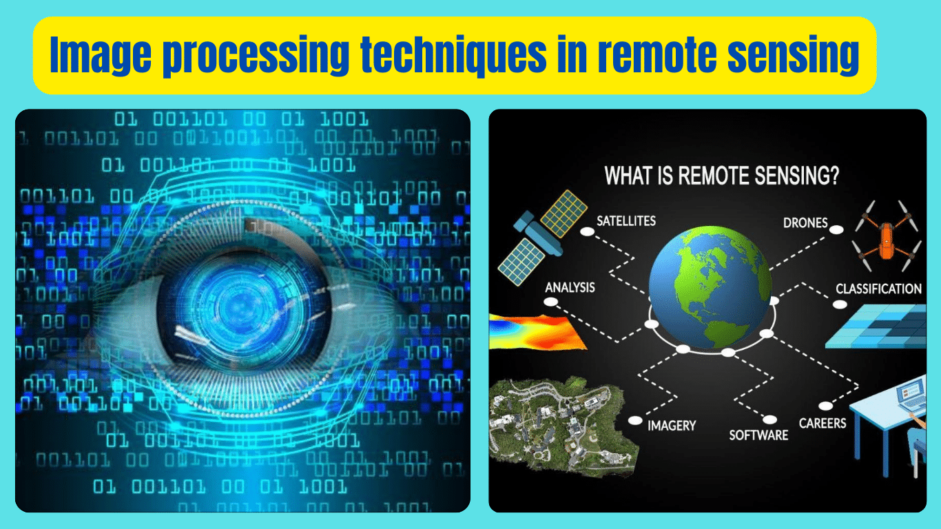
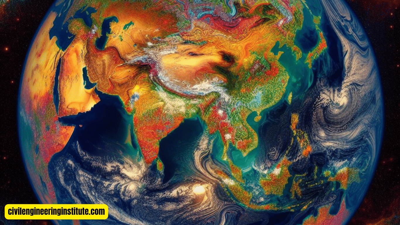
Image processing techniques in remote sensing play a fundamental role in extracting valuable information from satellite or aerial images captured from a distance. These techniques involve various methods to enhance, analyze, and interpret images to extract meaningful insights about the Earth’s surface and its features. Some common image processing techniques used in remote sensing include image enhancement, classification, and change detection.
Image enhancement improves the visual quality of images by adjusting brightness, contrast, and sharpness, making it easier to identify objects and features. Classification involves categorizing pixels in an image into different classes or categories based on their spectral characteristics, helping to identify land cover types such as vegetation, water bodies, and urban areas. Change detection techniques compare multiple images taken at different times to identify and analyze changes that have occurred in the landscape, which can be crucial for monitoring environmental changes, urban growth, and natural disasters. By utilizing these image processing techniques, remote sensing technology aids in various applications, including agriculture, urban planning, environmental monitoring, and disaster management.
Exploring Image Processing Techniques in Remote Sensing
In the realm of remote sensing, image processing techniques serve as powerful tools for analyzing data captured from satellites or aerial platforms. These techniques enable scientists, researchers, and various industries to extract valuable insights about the Earth’s surface and its features. In this article, we will delve into the realm of image processing in remote sensing, exploring its importance, common techniques, and applications.
Understanding Remote Sensing
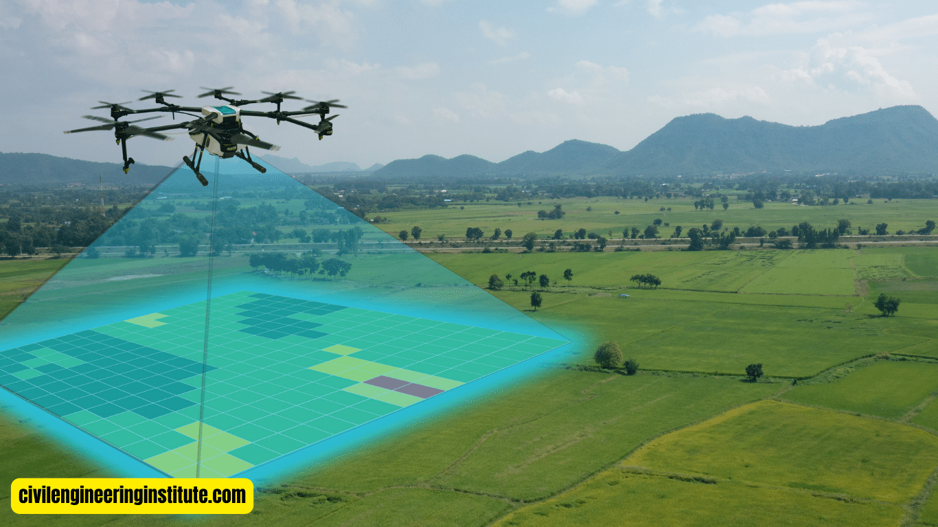
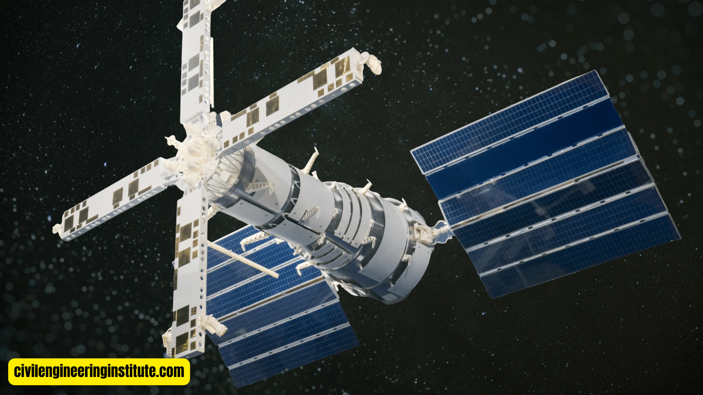
Remote sensing involves the acquisition of information about an object or phenomenon without direct physical contact. It utilizes sensors mounted on satellites, aircraft, or drones to capture images of the Earth’s surface from a distance. These images contain valuable data that can be analyzed using image processing techniques to derive meaningful information.
Importance of Image Processing
Image processing techniques play a pivotal role in remote sensing for several reasons:
- Enhanced Visualization
- Data Analysis
- Classification
- Change Detection
Enhanced Visualization: Image enhancement techniques improve the visual quality of images, making it easier to identify and interpret features on the Earth’s surface.
Data Analysis: By applying image processing algorithms, researchers can analyze vast amounts of data quickly and efficiently, extracting valuable insights.
Classification: Image classification techniques categorize pixels in an image into different classes based on their spectral characteristics, enabling the identification of land cover types such as vegetation, water bodies, and urban areas.
Change Detection: Change detection techniques compare multiple images taken at different times to identify and analyze changes in the landscape, aiding in monitoring environmental changes, urban growth, and natural disasters.
Common Image Processing Techniques
Several image processing techniques are commonly used in remote sensing, including:
- Image Enhancement
- Geometric Correction
- Radiometric Correction
- Image Classification
- Change Detection
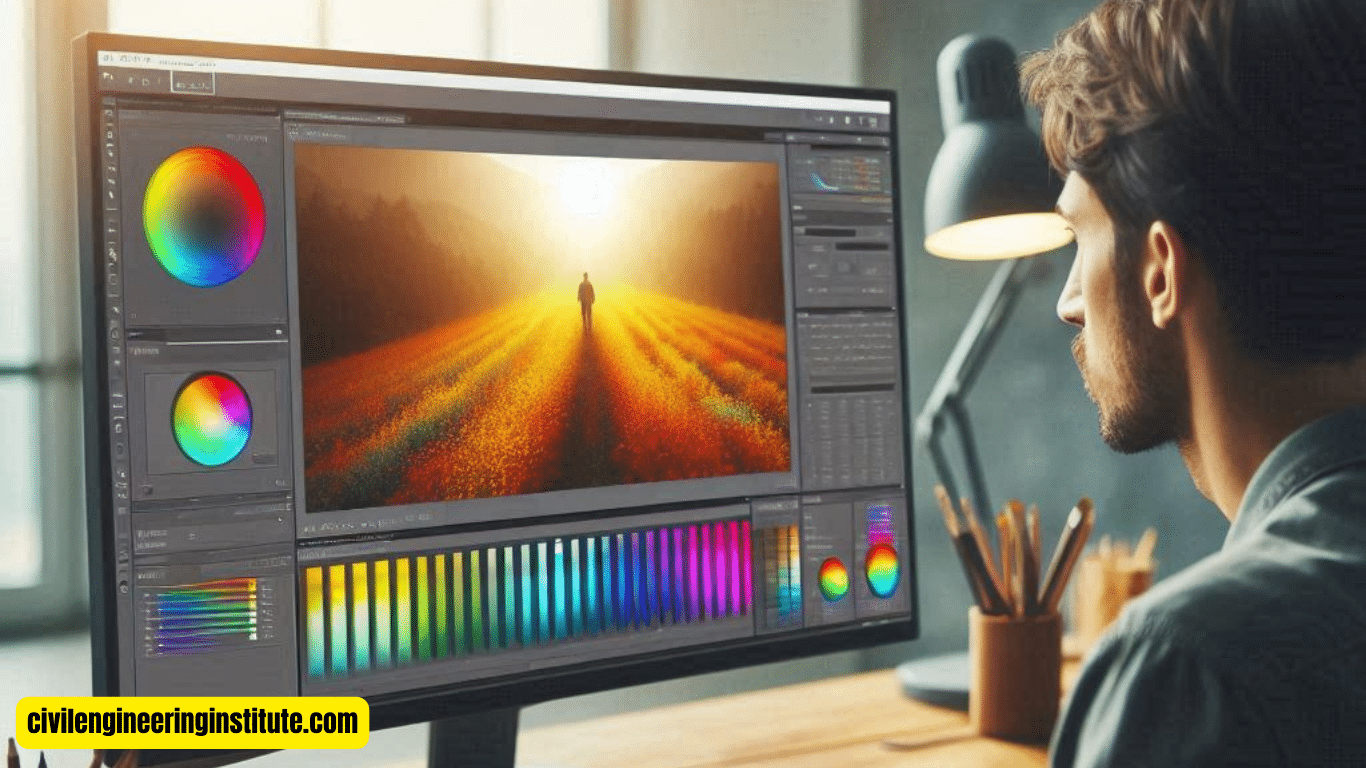
Image Enhancement: This technique improves the visual quality of images by adjusting brightness, contrast, and sharpness, enhancing specific features, or reducing noise.
Geometric Correction: Geometric correction techniques correct distortions caused by factors such as sensor orientation, terrain relief, and Earth’s curvature, ensuring accurate spatial representation.
Radiometric Correction: Radiometric correction techniques adjust the brightness and contrast of images to account for variations in illumination conditions, sensor characteristics, and atmospheric effects.
Image Classification: Image classification techniques categorize pixels in an image into different classes or categories based on their spectral characteristics, enabling the identification of land cover types and features.
Change Detection: Change detection techniques compare multiple images taken at different times to identify and analyze changes in the landscape, such as land cover changes, urban expansion, and natural disasters.
Applications of Image Processing in Remote Sensing
Image processing techniques find diverse applications in remote sensing across various industries and fields, including:
- Agriculture
- Environmental Monitoring
- Urban Planning
- Disaster Management
Agriculture: Remote sensing assists farmers in monitoring crop health, estimating yields, and managing resources more effectively by analyzing vegetation indices derived from satellite imagery.
Environmental Monitoring: Image processing techniques aid in monitoring environmental changes such as deforestation, land degradation, and pollution, providing valuable insights for conservation efforts and sustainable resource management.
Urban Planning: Remote sensing facilitates urban planners in assessing land use patterns, monitoring urban sprawl, and identifying suitable locations for infrastructure development through image classification and change detection techniques.
Disaster Management: Image processing plays a crucial role in disaster management by providing timely information on natural disasters such as floods, wildfires, and earthquakes, enabling rapid response and relief efforts.
Some important key points: Image processing techniques in remote sensing
Types of Image Processing Techniques
Image processing techniques can be broadly categorized into several types, each serving a specific purpose in analyzing and manipulating digital images. Some common types include:
- Image Enhancement
- Image Restoration
- Image Compression
- Image Segmentation
- Image Recognition
Image Enhancement: This type of technique focuses on improving the visual quality of images by adjusting parameters such as brightness, contrast, and sharpness.
Image Restoration: Image restoration techniques aim to remove noise, blur, or other imperfections from images, restoring them to their original clarity and detail.
Image Compression: Image compression techniques reduce the size of digital images while preserving their visual quality, making them easier to store, transmit, and process.
Image Segmentation: Image segmentation techniques partition an image into multiple segments or regions based on certain criteria, such as color, texture, or intensity, facilitating further analysis and interpretation.
Image Recognition: Image recognition techniques involve training algorithms to identify and classify objects or patterns within images, enabling applications such as facial recognition, object detection, and scene understanding.
Three Digital Image Processing Techniques
In digital image processing, three fundamental techniques are commonly employed:
- Spatial Domain Processing
- Frequency Domain Processing
- Color Image Processing
Spatial Domain Processing: This technique operates directly on the pixels of an image in its spatial domain, manipulating their values to achieve desired enhancements or modifications.
Frequency Domain Processing: Frequency domain processing involves transforming an image from its spatial domain into its frequency domain using techniques such as Fourier transforms, enabling analysis and manipulation based on frequency components.
Color Image Processing: Color image processing techniques focus on manipulating the color channels of an image to enhance or adjust its color balance, saturation, and other color-related attributes.
Best Technique for Image Processing
The “best” image processing technique depends on the specific requirements and objectives of the task at hand. Each technique has its strengths and weaknesses, and the most suitable approach will vary depending on factors such as the nature of the image, the desired outcome, and the computational resources available.
Applications of Image Processing
Image processing finds applications across diverse fields and industries, including:
- Medical Imaging
- Remote Sensing
- Security and Surveillance
- Industrial Automation
- Entertainment and Media
Medical Imaging: In medicine, image processing techniques aid in diagnostic imaging, image-guided surgery, and medical image analysis for conditions such as cancer detection and brain imaging.
Remote Sensing: Image processing techniques are crucial in remote sensing for analyzing satellite or aerial images to monitor environmental changes, assess land use patterns, and detect natural disasters.
Security and Surveillance: Image processing plays a vital role in security and surveillance systems for tasks such as facial recognition, object tracking, and anomaly detection.
Industrial Automation: In industrial settings, image processing techniques are used for quality control, defect detection, and process optimization in manufacturing processes.
Entertainment and Media: Image processing is integral to the entertainment industry for tasks such as video editing, special effects, and image enhancement in photography and cinematography.
Functions of Image Processing
The primary functions of image processing include the following:
- Image Enhancement
- Image Restoration
- Image Analysis
- Image Compression
- Image Recognition
Image Enhancement: Improving the visual quality of images to make them more suitable for analysis or presentation.
Image Restoration: Removing imperfections or distortions from images to restore their original clarity and detail.
Image Analysis: Analyzing images to extract meaningful information, such as identifying objects, patterns, or features of interest.
Image compression: reducing the size of images while preserving their visual quality to facilitate storage, transmission, and processing.
Image Recognition: training algorithms to recognize and classify objects or patterns within images for various applications, such as object detection and identification.
Image Processing Steps in Remote Sensing
In remote sensing, the image processing workflow typically involves several steps:
- Image Acquisition
- Preprocessing
- Image Enhancement
- Image Classification
- Change Detection
Image Acquisition: Acquiring satellite or aerial images of the Earth’s surface using remote sensing platforms.
Preprocessing: Preprocessing steps include geometric and radiometric corrections to remove distortions and enhance the quality of the images.
Image Enhancement: Enhancing the visual quality of images through techniques such as contrast adjustment and sharpening.
Image Classification: categorizing pixels in the images into different classes or land cover types based on their spectral characteristics.
Change Detection: Comparing multiple images taken at different times to detect and analyze changes in the landscape, such as land cover changes or urban expansion.
Image Configuration in Remote Sensing
Image configuration in remote sensing refers to the arrangement of pixels in an image grid, which depends on elements like spatial resolution, spectral resolution, and radiometric resolution. Spatial resolution refers to the size of the smallest discernible feature in an image; spectral resolution refers to the number of spectral bands captured by the sensor; and radiometric resolution refers to the sensitivity of the sensor to different levels of brightness or intensity. These configurations play a crucial role in determining the quality and usefulness of remote sensing imagery for various applications.
Conclusion
In conclusion, image processing techniques are indispensable tools in remote sensing, enabling the extraction of valuable information from satellite or aerial images. From image enhancement to classification and change detection, these techniques offer insights into various aspects of the Earth’s surface and its features. With applications spanning agriculture, environmental monitoring, urban planning, and disaster management, image processing in remote sensing continues to revolutionize how we perceive and understand our planet.
FAQs
What is remote sensing, and how does it relate to image processing techniques?
Remote sensing involves capturing images of the Earth’s surface from a distance using satellites or aircraft. Image processing techniques help analyze and interpret these images to extract valuable information.
Why are image processing techniques important in remote sensing?
Image processing techniques enhance the visual quality of images, enabling better analysis and interpretation. They also help with tasks like classifying land cover types and detecting changes over time.
What are some common image processing techniques used in remote sensing?
Common techniques include image enhancement, classification, and change detection. These techniques help in improving image quality and extracting useful information.
How does image enhancement benefit remote sensing?
Image enhancement techniques adjust brightness, contrast, and sharpness, making it easier to identify objects and features on the Earth’s surface in remote sensing imagery.
What is image classification, and how is it used in remote sensing?
Image classification categorizes pixels in an image into different classes based on their spectral characteristics. This helps in identifying land cover types such as vegetation, water bodies, and urban areas.
What role does change detection play in remote sensing?
Change detection techniques compare multiple images taken at different times to identify and analyze changes in the landscape, such as urban growth, deforestation, and natural disasters.
How are image processing techniques applied in agriculture using remote sensing?
In agriculture, remote sensing helps in monitoring crop health, estimating yields, and managing resources more effectively by analyzing vegetation indices derived from satellite imagery.
What are some challenges associated with image processing techniques in remote sensing?
Challenges include dealing with atmospheric effects, sensor noise, and geometric distortions in satellite images, which can affect the accuracy of analysis and interpretation.
Can image processing techniques in remote sensing be used for disaster management?
Yes, image processing techniques play a crucial role in disaster management by providing timely information on natural disasters such as floods, wildfires, and earthquakes, enabling rapid response and relief efforts.
How accessible are image processing techniques in remote sensing for non-experts?
While some image processing techniques require specialized knowledge and software, there are also user-friendly tools and platforms available that make remote sensing and image processing accessible to non-experts for various applications.
