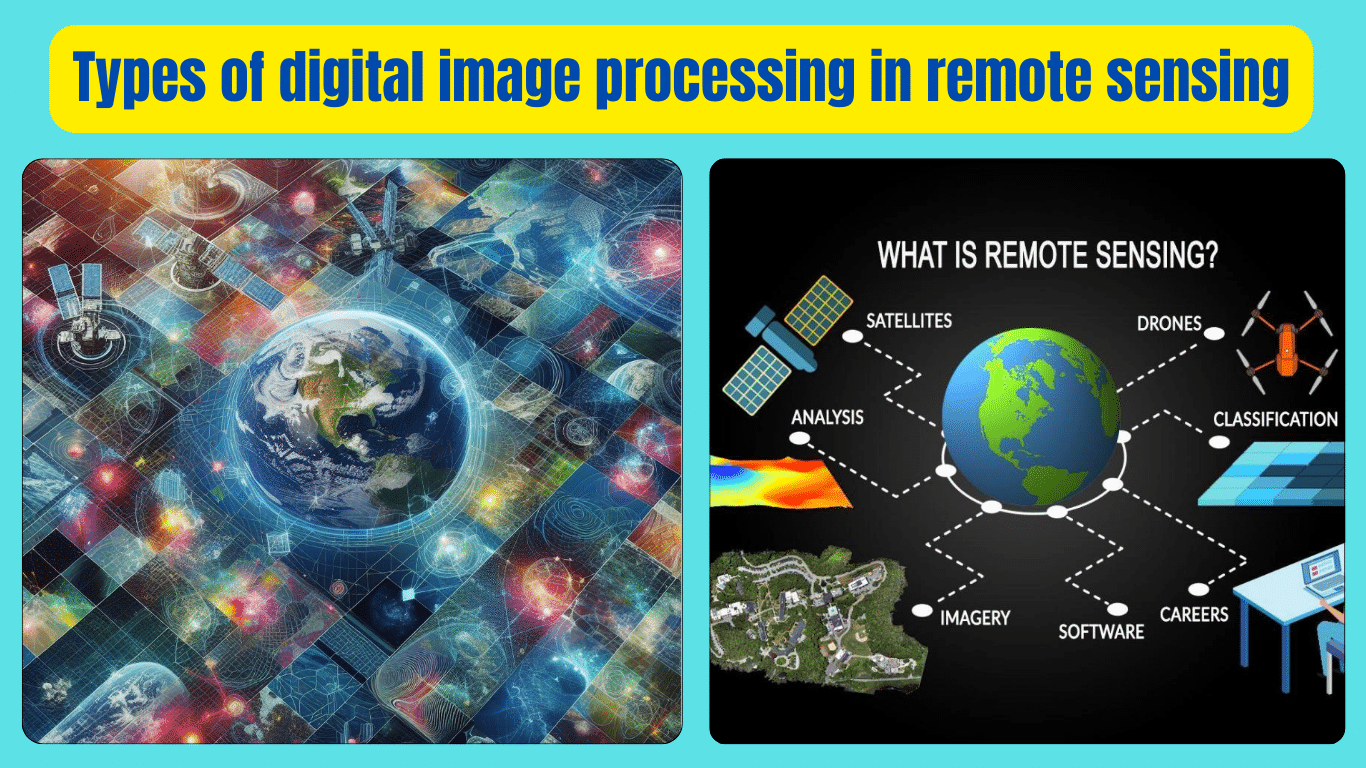
Digital image processing in remote sensing involves several types of techniques aimed at enhancing, analyzing, and interpreting images captured by satellites or other remote sensing platforms. Preprocessing is one type of image correction that removes distortions brought on by things like atmospheric conditions or sensor characteristics. Another type is image enhancement, which involves techniques like contrast stretching or histogram equalization to improve the visual quality of images.
Classification is another important type, where images are analyzed to categorize different land cover types such as forests, water bodies, or urban areas. Additionally, digital image processing includes techniques for feature extraction, where specific objects or patterns within images are identified and extracted for further analysis. These techniques play a crucial role in various applications, including agriculture, environmental monitoring, and urban planning, by providing valuable insights from remote sensing data.
Understanding Types of digital image processing in remote sensing
Digital image processing in remote sensing is a vital aspect of modern technology, enabling us to extract valuable information from satellite and aerial imagery. This article aims to provide an easy-to-understand overview of the various types of digital image processing techniques used in remote sensing, their significance, and applications.
Introduction to Remote Sensing
Remote sensing refers to collecting data about the Earth’s surface from a distance, typically through satellite or aircraft-mounted sensors. These sensors capture images in digital data, which can then be processed to extract meaningful information.
Types of Digital Image Processing
Digital image processing in remote sensing encompasses a range of techniques, each serving a specific purpose in analyzing and interpreting imagery. Below are some of the main types:
Preprocessing: Correcting Image Distortions
Preprocessing is the initial step in digital image processing, involving the correction of distortions that may occur during image acquisition. These distortions can arise from atmospheric conditions, sensor characteristics, or platform motion.
Image Enhancement: Improving Image Quality
Image enhancement techniques aim to improve the visual quality of images, making them easier to interpret and analyze. Common enhancement methods include:
- Contrast Stretching
- Histogram Equalization
Contrast Stretching: This technique expands the range of pixel values in an image, enhancing the contrast between different features.
Histogram Equalization: By redistributing pixel intensities, histogram equalization enhances the overall contrast and brightness of an image.
Enhanced images provide clearer details and facilitate better analysis of features such as land cover types, land use patterns, and natural phenomena.
Image Classification: Categorizing Land Cover
Image classification involves categorizing pixels within an image into different classes or categories based on their spectral characteristics. This process enables the identification and mapping of various land cover types, including forests, water bodies, agricultural fields, and urban areas.
Feature Extraction: Identifying Objects of Interest
Feature extraction techniques focus on identifying specific objects or patterns within an image. These objects could include buildings, roads, rivers, or other features of interest. Once identified, these features can be extracted and analyzed further for various applications.
Applications of Digital Image Processing in Remote Sensing
Digital image processing techniques play a crucial role in a wide range of applications across various sectors. Some of the key applications include:
Agriculture
In agriculture, remote sensing imagery combined with digital image processing techniques helps in crop monitoring, yield prediction, and precision farming. By analyzing vegetation indices and detecting crop stress, farmers can make informed decisions regarding irrigation, fertilization, and pest management.
Environmental Monitoring
Remote sensing is invaluable for monitoring environmental changes such as deforestation, urbanization, and land degradation. Digital image processing techniques enable the assessment of ecosystem health, habitat mapping, and monitoring of natural disasters such as wildfires and floods.
Urban Planning
Urban planners utilize remote sensing data and image processing techniques to analyze urban sprawl, land use patterns, and infrastructure development. This information aids in making informed decisions regarding city planning, transportation networks, and resource management.
Disaster Management
During natural disasters such as earthquakes, hurricanes, or tsunamis, remote sensing imagery can provide valuable information for disaster response and recovery efforts. Digital image processing techniques enable the rapid assessment of damage, identification of affected areas, and planning of relief operations.
Some short key points: Types of digital image processing in remote sensing
Types of Digital Images Used in Remote Sensing
In remote sensing, various types of digital images are used to capture data about Earth’s surface from a distance. These images include:
- Multispectral Images: Multispectral images capture data across multiple spectral bands, allowing for the analysis of different features on the Earth’s surface, such as vegetation, water bodies, and urban areas.
- Hyperspectral Images: Hyperspectral images contain a large number of narrow spectral bands, providing detailed information about the spectral signature of objects and materials on the Earth’s surface.
- Panchromatic Images: Panchromatic images capture data in a single broad spectral band, offering high-resolution imagery suitable for detailed mapping and analysis.
- Thermal Infrared Images: Thermal infrared images capture thermal radiation emitted by objects on the Earth’s surface, enabling the analysis of temperature variations and thermal properties.
These types of digital images serve as valuable sources of data for remote sensing applications, enabling scientists and researchers to study various phenomena and monitor changes over time.
The Process of Digital Image Processing in Remote Sensing
Digital image processing in remote sensing involves several steps aimed at enhancing, analyzing, and interpreting digital images captured by satellites or other remote sensing platforms. The process typically includes the following steps:
- Preprocessing: Preprocessing involves correcting image distortions caused by factors such as atmospheric conditions, sensor characteristics, or platform motion.
- Image Enhancement: Image enhancement techniques are applied to improve the visual quality of images, making them easier to interpret and analyze. This may include methods such as contrast stretching or histogram equalization.
- Image Classification: Image classification involves categorizing pixels within an image into different classes or categories based on their spectral characteristics. This enables the identification and mapping of various land cover types and features.
- Feature Extraction: Feature extraction techniques focus on identifying specific objects or patterns within an image, such as buildings, roads, or vegetation. These features can then be extracted and analyzed further for various applications.
The process of digital image processing in remote sensing enables scientists and researchers to extract valuable information from satellite and aerial imagery, aiding in applications such as agriculture, environmental monitoring, urban planning, and disaster management.
Digital Image Processing and Its Uses
Digital image processing is the manipulation of digital images using computer algorithms to enhance, analyze, or interpret image data. It finds various uses across different fields, including:
- Medical Imaging: In the field of medicine, digital image processing techniques are used for tasks such as image enhancement, segmentation, and classification in medical imaging modalities like MRI, CT scans, and X-rays.
- Satellite Imaging: In remote sensing, digital image processing is used to analyze satellite imagery for applications such as land cover mapping, environmental monitoring, and disaster management.
- Security and Surveillance: Digital image processing plays a crucial role in security and surveillance systems for tasks such as face recognition, object detection, and tracking.
- Industrial Automation: In industrial automation, digital image processing techniques are used for quality control, defect detection, and process monitoring in manufacturing processes.
The versatility of digital image processing makes it a valuable tool in various fields, enabling the extraction of valuable information from digital images for decision-making and analysis.
Advantages of Digital Image Processing
Digital image processing offers several advantages, including:
- Improved Image Quality: Image enhancement techniques can improve the visual quality of images, making them clearer and easier to interpret.
- Automation: Digital image processing algorithms can automate repetitive tasks such as image classification and feature extraction, saving time and effort.
- Quantitative Analysis: Digital image processing enables quantitative analysis of image data, allowing for precise measurements and calculations.
- Versatility: Digital image processing techniques can be applied to images captured by different sensors and platforms, making them versatile for various applications.
Overall, digital image processing enhances the utility of digital images by extracting valuable information and enabling analysis and interpretation for a wide range of applications.
Applications of Digital Image Processing
Digital image processing finds applications in various fields, including:
- Agriculture: In agriculture, digital image processing is used for tasks such as crop monitoring, yield prediction, and precision farming.
- Environmental Monitoring: Digital image processing aids in monitoring environmental changes such as deforestation, land degradation, and habitat mapping.
- Urban Planning: In urban planning, digital image processing techniques are used to analyze land use patterns, urban sprawl, and infrastructure development.
- Disaster Management: Digital image processing is valuable for disaster management by providing rapid assessment of damage, identification of affected areas, and planning of relief operations.
These applications highlight the diverse uses of digital image processing in addressing various societal and environmental challenges.
The First Application of Digital Image Processing
The first application of digital image processing dates back to the 1960s when it was primarily used for military reconnaissance and aerial surveillance. During this time, digital image processing techniques were developed to enhance the quality of aerial imagery and extract valuable information for intelligence purposes.
Elements of Digital Image Processing
The elements of digital image processing include:
- Image Acquisition: The process of capturing digital images using sensors or cameras.
- Preprocessing: Correcting image distortions and enhancing the quality of images before further analysis.
- Image Enhancement: Improving the visual quality of images for better interpretation and analysis.
- Image Analysis: Analyzing images to extract meaningful information and identify features of interest.
- Image Interpretation: Interpreting the analyzed data to derive insights and make informed decisions.
- Image Display and Visualization: Presenting the processed images and results in a visually understandable format for further analysis or dissemination.
These elements collectively form the foundation of digital image processing, enabling the extraction of valuable information from digital imagery for various applications.
Conclusion
Digital image processing in remote sensing offers a powerful set of tools for analyzing and interpreting satellite and aerial imagery. From preprocessing to image enhancement, classification, and feature extraction, these techniques enable us to extract valuable information about Earth’s surface and monitor changes over time. With applications ranging from agriculture and environmental monitoring to urban planning and disaster management, digital image processing plays a crucial role in addressing various societal and environmental challenges. As technology continues to advance, the potential for remote sensing and digital image processing to contribute to our understanding of the world around us only continues to grow.
FAQs
What is digital image processing in remote sensing?
Digital image processing in remote sensing refers to using computer algorithms to enhance, analyze, and interpret digital images captured by satellites or aerial platforms.
Why is digital image processing important in remote sensing?
Digital image processing helps improve the quality of satellite imagery, making it easier to identify and analyze features on Earth’s surface for various applications like agriculture, environmental monitoring, and urban planning.
What are the main types of digital image processing techniques used in remote sensing?
The main types include preprocessing, image enhancement, image classification, and feature extraction, each serving a specific purpose in analyzing remote sensing imagery.
What is preprocessing in digital image processing?
Preprocessing involves correcting distortions in images caused by factors like atmospheric conditions or sensor characteristics to ensure accurate analysis and interpretation of remote sensing data.
How does image enhancement improve remote sensing imagery?
Image enhancement techniques like contrast stretching or histogram equalization improve the visual quality of images, making it easier to identify and analyze features such as land cover types and natural phenomena.
What is image classification in remote sensing?
Image classification categorizes pixels within an image into different classes or categories based on their spectral characteristics, allowing for the identification and mapping of various features on Earth’s surface.
How does feature extraction contribute to remote sensing analysis?
Feature extraction techniques focus on identifying specific objects or patterns within an image, such as buildings, roads, or vegetation, providing valuable insights for various applications like urban planning and disaster management.
What are the advantages of digital image processing in remote sensing?
Advantages include improved image quality, automation of analysis tasks, quantitative analysis capabilities, and versatility in handling different types of imagery and applications.
What are some common applications of digital image processing in remote sensing?
Applications include agriculture (crop monitoring, yield prediction), environmental monitoring (deforestation, habitat mapping), urban planning (land use analysis, infrastructure development), and disaster management (damage assessment, relief planning).
How has digital image processing in remote sensing evolved over time?
Digital image processing techniques have evolved with advancements in technology, enabling more sophisticated analysis and interpretation of remote sensing data for addressing complex societal and environmental challenges.


