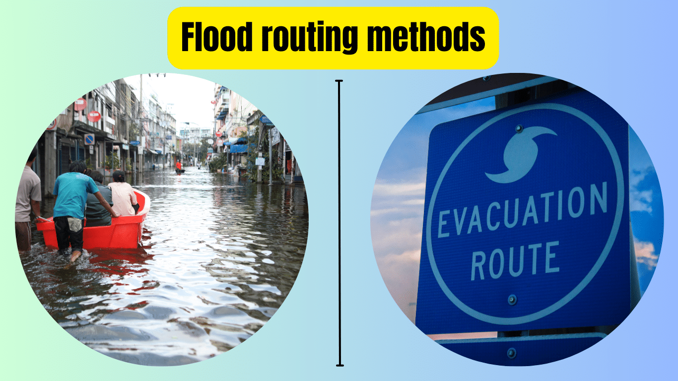
Flood routing methods are techniques used to predict and manage the movement of floodwaters, which is crucial for minimizing damage and protecting communities. These methods involve analyzing factors, such as rainfall intensity, terrain, and existing infrastructure, to determine how water will flow and where it will accumulate.
Common flood routing methods include hydrological models, which simulate the behavior of water in river systems, and hydraulic models, which focus on how water moves through channels and over land. By employing these methods, authorities can make informed decisions about flood control measures, such as constructing levees or improving drainage systems. Understanding flood routing methods is essential for effective flood management and ensuring the safety of people and property in flood-prone areas.
Mastering Flood Routing Methods: A Comprehensive Guide
In recent years, floods have become increasingly common and devastating events worldwide. As communities grapple with the challenges posed by rising water levels, understanding flood routing methods has become more critical than ever. In this comprehensive guide, we will delve into the fundamentals of flood routing methods, exploring their importance, types, and real-world applications.
What are flood routing methods?
Flood routing methods are strategies and techniques used to predict and manage the movement of floodwaters. These methods are essential for assessing flood risk, designing effective flood control measures, and minimizing the impact of floods on communities and infrastructure.
Types of Flood Routing Methods
- Hydrological Models
- Hydraulic Models
- 1D and 2D Modeling
Hydrological Models
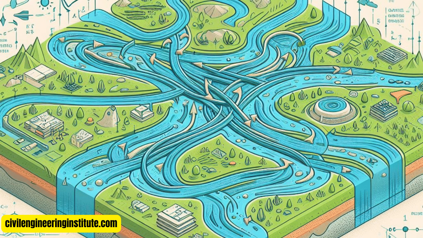
Hydrological models simulate the behavior of water within river systems. By analyzing factors such as rainfall intensity, soil type, and land use, these models can predict how water will flow through river networks and how it will interact with the surrounding landscape.
Hydraulic Models
Hydraulic models focus on the movement of water through channels, pipes, and overland flow paths. These models take into account factors such as channel geometry, flow velocity, and roughness coefficients to predict flood behavior and assess the effectiveness of flood control structures.
1D and 2D Modeling
Flood routing methods can be categorized into one-dimensional (1D) and two-dimensional (2D) models. 1D models represent flow in a single direction, typically along a river channel or pipeline. In contrast, 2D models simulate flow in both horizontal and vertical directions, allowing for a more accurate representation of complex flood scenarios, such as urban flooding.
Real-World Applications
- Flood Forecasting and Early Warning Systems
- Infrastructure Design and Planning
- Emergency Response and Disaster Management
Flood Forecasting and Early Warning Systems
Flood routing methods play a crucial role in the development of flood forecasting and early warning systems. By continuously monitoring weather patterns, river levels, and other relevant data, these systems can provide timely warnings to at-risk communities, allowing them to take proactive measures to mitigate flood damage.
Infrastructure Design and Planning
Civil engineers use flood routing methods to design and plan infrastructure projects that are resilient to flooding. By incorporating flood routing analyses into the design process, engineers can identify potential flood risks and implement appropriate measures, such as elevated roads, flood walls, and stormwater management systems, to protect critical infrastructure assets.
Emergency Response and Disaster Management
During flood events, emergency responders rely on flood routing methods to coordinate rescue and evacuation efforts effectively. By understanding how floodwaters are likely to behave, responders can prioritize areas at greatest risk and allocate resources accordingly, minimizing the loss of life and property.
Challenges and Limitations
While flood routing methods are powerful tools for flood management, they are not without their challenges and limitations. Factors such as data availability, model accuracy, and uncertainty in future climate conditions can impact the reliability of flood predictions. Additionally, the complexity of urban environments and the interactions between different flood pathways can pose challenges for accurately simulating flood behavior.
some key points: Flood routing methods
What is flood routing?
Flood routing refers to the process of predicting and managing the movement of floodwaters through various channels, rivers, and other pathways. It involves analyzing factors such as rainfall intensity, topography, and existing infrastructure to understand how water will flow and where it will accumulate. Flood routing helps communities prepare for and respond to floods by providing valuable insights into potential flood risks and allowing for the implementation of appropriate mitigation measures.
What is the routing of a reservoir flood?
The routing of a reservoir flood involves controlling the release of water from a reservoir to manage downstream flood risk. When heavy rainfall or other factors cause water levels in a reservoir to rise, authorities may need to release water gradually to prevent the reservoir from overflowing and causing downstream flooding. By carefully controlling the rate and timing of water releases, reservoir operators can mitigate the impact of floods on downstream communities while ensuring the safety of the reservoir structure.
Three Different Direct Methods of Flood Control
- Levees and Floodwalls
- Channelization
- Retention Ponds and Detention Basins
Levees and Floodwalls: Levees and floodwalls are physical barriers constructed along riverbanks and coastlines to contain floodwaters and prevent them from inundating surrounding areas. These structures are typically built using materials such as concrete, earth, or steel and are designed to withstand the force of floodwaters during periods of high flow.
Channelization: Channelization involves modifying natural or artificial waterways to improve their capacity to convey floodwaters. This may include dredging, widening, or straightening channels to increase their flow capacity and reduce the risk of flooding in adjacent areas. While channelization can help mitigate flood risk, it may also have environmental impacts and alter natural ecosystems.
Retention Ponds and Detention Basins: Retention ponds and detention basins are designed to temporarily store excess stormwater runoff and mitigate the risk of flooding downstream. These structures capture and detain stormwater, allowing it to gradually infiltrate into the ground or be slowly released into nearby waterways. Retention ponds and detention basins are often integrated into urban stormwater management systems to reduce the impact of heavy rainfall events on local communities.
What is the most common method of flood control?
The most common method of flood control varies depending on factors such as geography, climate, and available resources. However, levees and floodwalls are among the most widely used and recognizable flood control measures worldwide. These structures have been employed for centuries to protect communities, agricultural land, and critical infrastructure from the destructive force of floods.
Difference Between Hydraulic and Hydrological Methods of Flood Routing
Hydraulic and hydrological methods of flood routing differ in their approach and focus. Hydrological methods primarily focus on analyzing the processes that govern the movement of water within a river basin, such as rainfall, evaporation, infiltration, and runoff. These methods are used to model the overall behavior of a watershed and predict flood flows at various points along river channels.
In contrast, hydraulic methods focus on the physical characteristics of water flow, including channel geometry, flow velocity, and frictional resistance. Hydraulic models simulate the movement of water through channels, pipes, and overland flow paths, allowing for detailed analysis of flood behavior and the effectiveness of flood control structures such as levees, floodwalls, and stormwater drainage systems.
What is a flood control system?
A flood control system is a comprehensive set of measures and infrastructure designed to manage and mitigate the risk of flooding in a given area. This may include a combination of structural measures such as levees, floodwalls, and retention ponds, as well as non-structural measures such as land use planning, flood forecasting, and emergency response planning. A well-designed flood control system integrates various strategies to reduce the impact of floods on communities, infrastructure, and the environment.
How do we reduce flood risk?
Reducing flood risk requires a multi-faceted approach that addresses both structural and non-structural measures. Some key strategies for reducing flood risk include:
- Implementing land-use planning regulations to limit development in flood-prone areas
- Investing in infrastructure improvements such as levees, floodwalls, and stormwater drainage systems
- Developing early warning systems and emergency response plans to facilitate timely evacuation and response during flood events
- Promoting natural flood management techniques such as wetland restoration, riverbank stabilization, and reforestation to enhance flood resilience and reduce runoff
Who is responsible for the flood?
Responsibility for flood management and mitigation is typically shared among various levels of government as well as private landowners, developers, and other stakeholders. Local, state, and federal agencies may be responsible for implementing flood control measures, managing floodplain development, and providing emergency response services during flood events. However, individuals and communities also play a critical role in reducing flood risk through measures such as property-level floodproofing, flood insurance, and community preparedness efforts. Collaboration and coordination among all stakeholders are essential for effective flood management and resilience-building initiatives.
Conclusion
In conclusion, flood routing methods are indispensable tools for managing flood risk and protecting communities from the devastating effects of flooding. By leveraging advanced modeling techniques and real-time data, engineers, planners, and emergency responders can make informed decisions to minimize the impact of floods and build more resilient communities. As we continue to confront the growing threat of climate change, the importance of mastering flood routing methods cannot be overstated. With ongoing research and innovation, we can further refine these methods and better prepare ourselves for the challenges ahead.
FAQs
What are the flood routing methods?
Flood routing methods are techniques used to predict and manage the movement of floodwaters through channels, rivers, and other pathways.
Why are flood routing methods important?
Flood routing methods help communities assess flood risk, design flood control measures, and minimize the impact of floods on people and property.
How do hydrological models work in flood routing?
Hydrological models simulate water movement within river systems, considering factors like rainfall, soil type, and land use to predict flood behavior.
What are hydraulic models used for in flood routing?
Hydraulic models focus on how water moves through channels and overland flow paths, helping predict flood behavior and assess flood control structures’ effectiveness.
What are 1D and 2D modeling in flood routing?
Flood routing methods can be categorized into one-dimensional (1D) and two-dimensional (2D) models, representing flow in single or multiple directions for more accurate flood predictions.
How are flood routing methods applied in real-world situations?
Flood routing methods are used for flood forecasting, infrastructure design, emergency response planning, and disaster management.
What challenges do flood routing methods face?
Challenges include data availability, model accuracy, uncertainty in future climate conditions, and the complexity of urban environments.
What are the direct methods of flood control?
Direct methods include constructing levees and floodwalls, channelization, and building retention ponds and detention basins.
What is the most common method of flood control?
Levees and floodwalls are among the most widely used flood control measures globally, providing physical barriers to contain floodwaters.
Who is responsible for flood management?
Responsibility for flood management typically involves various levels of government, private landowners, developers, and community stakeholders collaborating to reduce flood risk and enhance resilience.


